earthworks
This work focusses on regions of human oriented earthworks on land, sea and waterways.
With close to 8 billion people on the planet, there are few places that are not affected by human activity. Whether it is direct physical activity through mining, building, clearing and other operations or indirect activity that leaves supposedly untouched areas polluted, most places are open to exploration with mapping apps.
The visual aspects use both straight satellite imagery as well as the algorithmic glitches that come via confusion about which layers are used to build up a full view.
Online delivery platforms also factor into the work as a whole, where individual pieces are minted as NFTs often with brief commentary on or from research. Text-based components also come into play with the promotion of pieces through twitter, where current events (such as the COP meetings) are referenced.
These images and gifs are shown in accordance with Google’s attribution requirements, sources for which are:
Google Earth, SIO, NOAA, GEBCO, US Navy, NGA, Landsat / Copernicus, Maxar, CNES / Airbus, TerraMetrics, US Geological Survey
climate variations on ‘ocean cloud and ice collapse’ (original: gif loop)
untitled (earthworks visualisation #2) (original: gif loop)

untitled (going south)

untitled (zmiinyi island diptych part 1) [Ukraine – Snake Island]
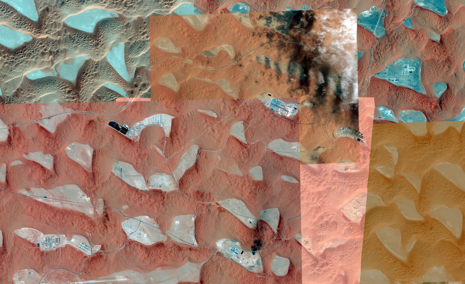
untitled (desert landform #4)

untitled (desert landform #2)
untitled (desert progression #1) (45 sec mov)
untitled (sea split study for lake ellesmere outflow) (original: gif loop)

uncharted territories #2

uncharted territories #9

uncharted territories #4

uncharted territories #5

untitled (cloud split #1)

untitled (broken barriers #1)

untitled (broken barriers #3)
divided lands #2 [Ukraine-Crimea] (original: gif loop)

untitled (earthworks visualisation #3) (gif loop)
untitled (earthworks visualisation #1) (original is a gif loop)

untitled (zmiinyi island diptych part 2) [Ukraine – Snake Island]

untitled (desert landform #3)

untitled (desert landform #1)
untitled (earthworks visualisation #4) (13 sec mov)
first meditation on nz water quality (original: gif loop)

uncharted territories #3

uncharted territories #8

uncharted territories #6

uncharted territories #7

untitled (cloud split #2)

untitled (broken barriers #2)

untitled (broken barriers #4)